Jerusalem Archives
ארכיוני ירושלים
أرشيفات القدس
The Ottoman Archives collection
The British Mandate Planning collection, Jerusalem Municipality Historical Archives
Photo Gallery
Heritage sites documentation
The Jerusalem City Model was created in 1978 by Dick and Ethel Harvey. The process of the model building relied on extensive photography, resulting in some 20,000 photos, taken in 350 specific locations within the inner city, supplying a unique snapshot of the city and capturing it at a specific point in time. 120 planning survey sheets were used to map the photography sessions, with the exact location of the photographer, and the direction of the photography, marked on them. The model and preparatory documentation was eventually given to the Jerusalem Municipality, which uses it for purposes of planning, tourism and research. Over the years, newly developed areas have been added to the model, and photographs also have been accumulating.
We catalogued all 120 plans and 350 photograph files and scanned all 120 plans and 20,000 photographs. They are available on the National Library of Israel website.
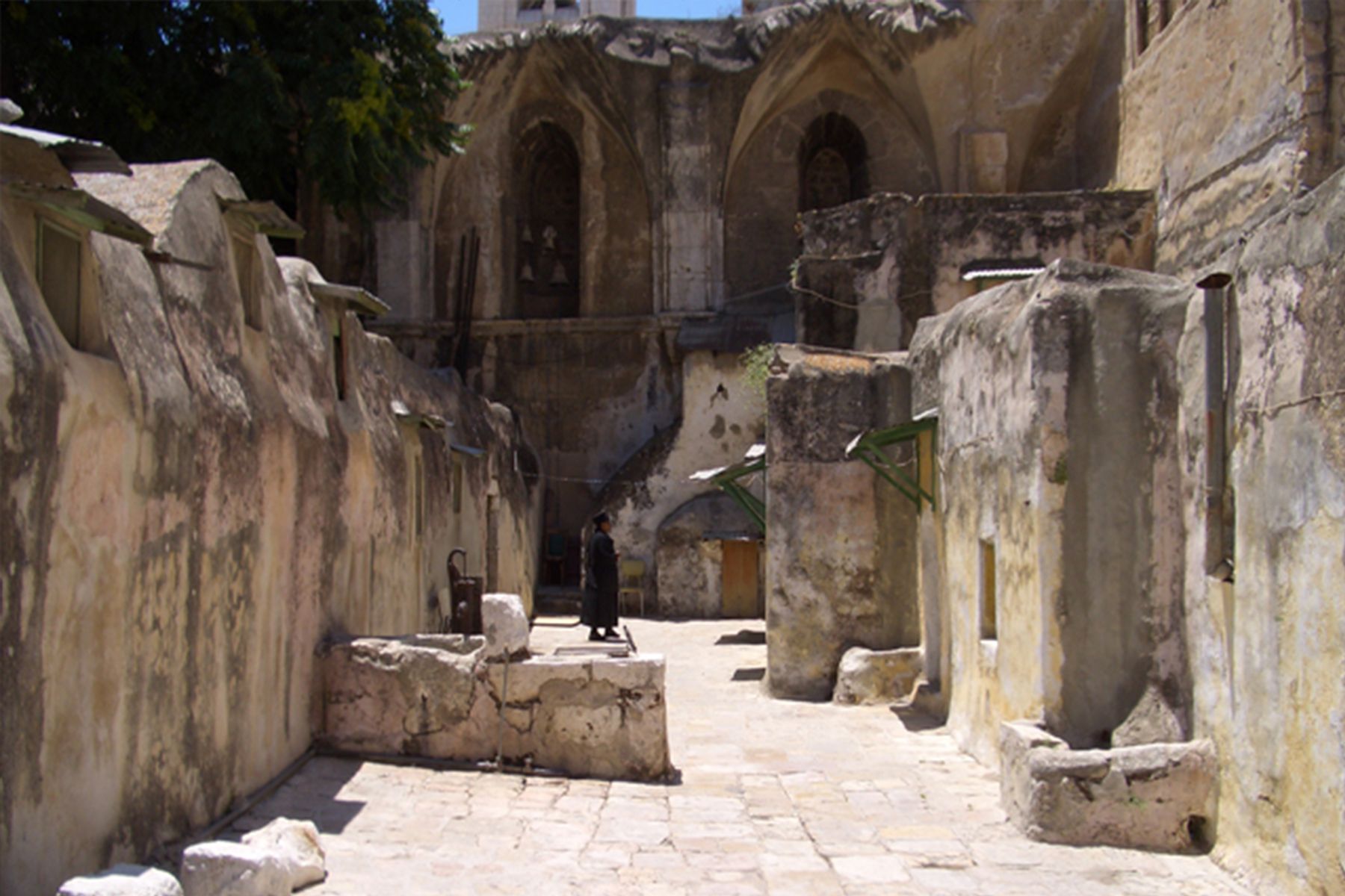
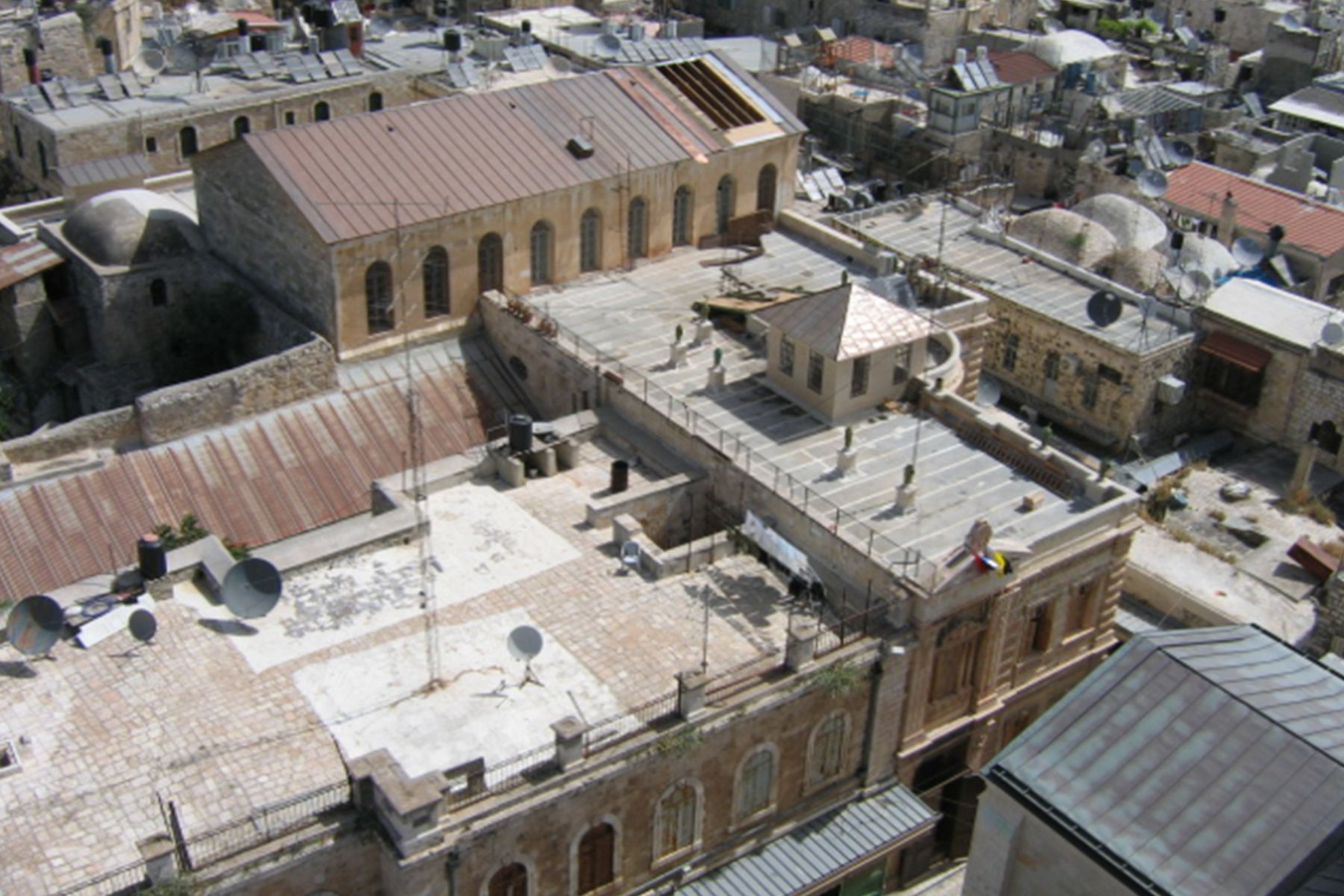
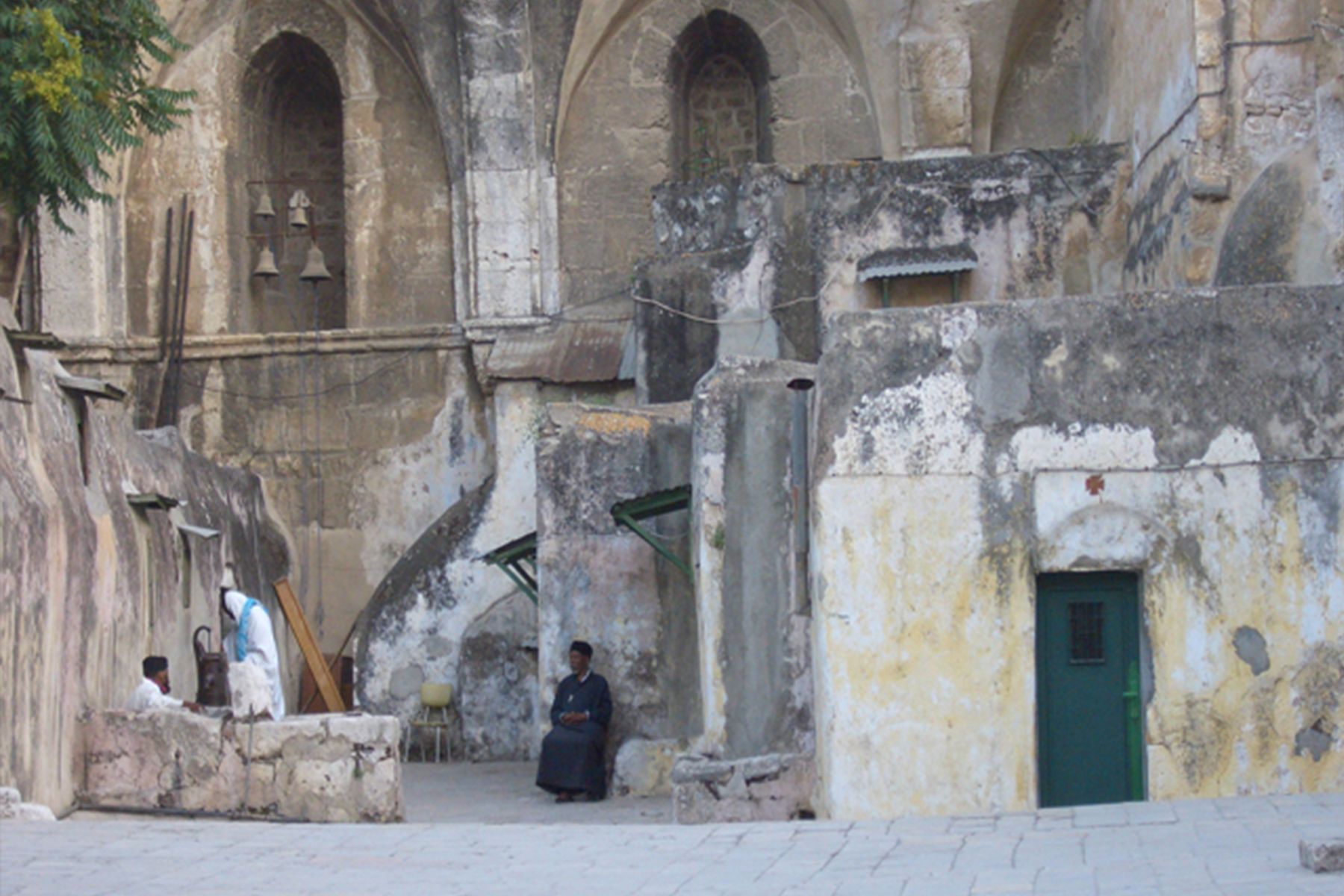
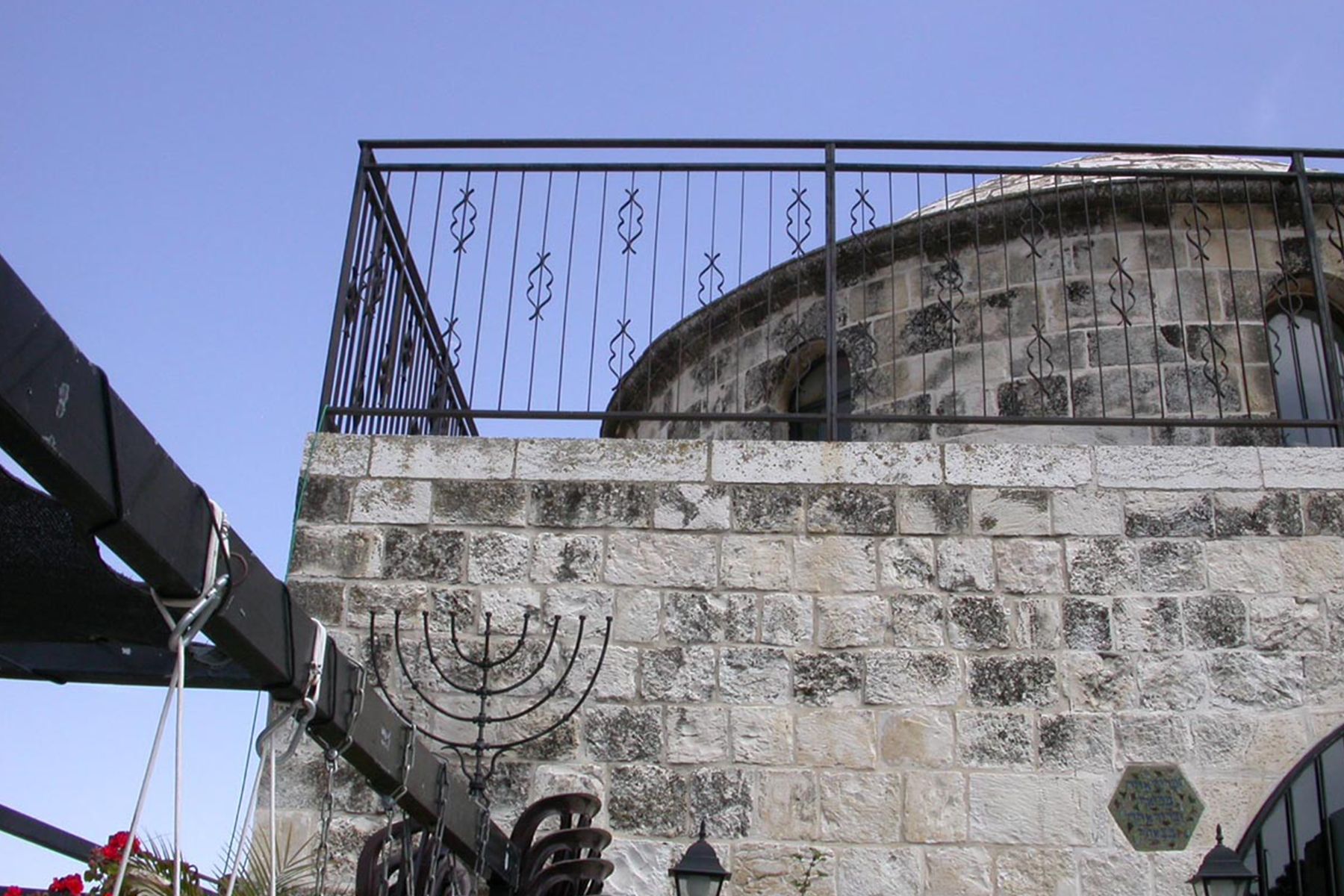
The Old City Documentation collection
Within this collection of personal architects' collections compiled at the National Library, we identified 1100 listings which were relevant for our Jerusalem database, including the works of many Jerusalemite architects and local building plans, such as the building of the National Library itself; the planning of the Ramot neighbourhood; proposals for the planning of the Municipality and the Supreme Court; and the rehabilitation of the Jewish Quarter at the Old City. After identifying these individual listings, we cross-referenced them to the Jerusalem database we Had created.